
Mosman Masterplan revealed: Where the towers go, and what your street gets.

The future of Mosman could look like this. Artists impression of Spit Junction looking east. Image: Mosman Council.
By ANNA USHER
The masterplan that will change Mosman forever has passed council, and it runs to more than 120 pages. We went through the lot to answer one simple question: What does it mean for you? Here it is, street by street.
Towers of up to 25 storeys would rise over Spit Junction, while Mosman’s leafy back streets and harbour slopes stay untouched, under the Mosman Masterplan just backed by Council.
Councillors voted 7-0 on Tuesday night to endorse a preferred plan that funnels almost all of Mosman’s future housing onto the Spit Road and Military Road spine, keeping it out of residential and heritage pockets.

Towers of up to 25 storeys would rise over Spit Junction under the Masterplan just backed by Council. Image: Mosman Council.
It is Mosman’s attempt to take back control of its own growth from the state government. The catch: the plan needs to be signed-off by Planning Minister Paul Scully, and he’s already said no.
This week, Scully told the Sydney Morning Herald the government would consider the masterplan but had no intention of “switching off” its reforms.
“Let me be clear, the [LMR] policy is here to stay,” he said.

NSW Planning Minister Paul Scully. Image: AAP/Nikki Short.

The trade-off at the heart of it
To be allowed to run its own plan, Mosman must deliver the same housing the state insists on: about 950,000 square metres of floor space, or roughly 4,700 new homes.
Mosman’s answer is to pack that density into a narrow strip and spare the rest of the suburb.
Under the preferred plan, the area of change covers about 12 per cent of the LGA’s developable land. Under the state’s Low and Mid-Rise (LMR) policy, it would have been 27 per cent, spread right across the suburb, including the Balmoral slopes.
In short: the taller we build along the main roads, the more Mosman stays exactly as it is.
How tall, and where
The plan sets a specific height for every block, stepping down from the corridor into the streets around it.
The tallest towers cluster at Spit Junction. There are two sites at 25 storeys, one at 20 storeys and five at 18 storeys.
One of the 25-storey sites is Bridgepoint shopping centre.
For scale, the W Sydney hotel at Darling Harbour, the curvy Ribbon building with the IMAX cinema, is 25 storeys.

For context, The W Hotel at Darling Harbour is 25 storeys. Image: Marriott Hotels.
Along much of Military Road and Spit Road, buildings would sit at a consistent 12 storeys.
From there, heights fall away, to between four and six storeys, while land next to heritage homes goes lower again. Gouldsbury Street and Belmont Road (west of
Lennon Lane) is capped at three storeys, and heights near the Cremorne border are pulled down to soften that edge.
Which streets are affected
- The plan touches dozens of streets. Here is roughly where you sit.
- Spit Junction: the core, up to 25 storeys
- Military Road and Spit Road: a 12-storey corridor
- Bridgepoint: 25 storeys, with new laneways off Brady Street, Heydon Street and Hordern Place
- Cowles Road: flagged for more density
- 609-611 Military Road: the new library and Village Green
Stepped down to lower heights
- Ourimbah Road: about six storeys, with no change further north
- Bapaume Road: a five-storey transition
- Gouldsbury Street and Belmont Road, west of Lennon Lane: three storeys, on heritage advice
- Prince Street and the Cremorne edge: pulled lower
Left untouched
- The Balmoral and Mosman Bay slopes
- Heritage streets, including Lang Street, Holt Avenue, Spencer Road and Cabramatta Road
Boundary changes
- Out: the blocks north of Bickell Road, up to Medusa Street
- In: the block between Rawson Street, Moruben Road and Awaba Street
Resident flashpoints
- Cartref Lane, Brierley Street and Rangers Avenue: narrow streets where residents warned of setbacks, deep excavation and truck movements
- Prince Street and Wudgong Street: rezoned on one side of the road only, which residents called “inequitable”

The Brierley St, Cartref Lane and Rangers Ave “Mega Lot” remains a development flashpoint for local residents.
What the community gets in return
Council is selling the plan on what it calls public benefits, funded by the extra height.
The centrepiece is a rebuilt civic precinct on council-owned land at 609-611 Military Road, next to Mosman Square. It would deliver a new library with a youth centre, senior centre and flexible community rooms, new underground public parking, and an expanded Village Green of about 2,000 square metres above the parking, with a new playground and outdoor performance space.
The plan also promises additional local and pocket parks, new indoor sports courts, affordable housing kept affordable in perpetuity, and the retention of the Mosman Bowling Club with extra community space on the site.
New through-site walking links, a regional cycle route and low-speed “slow streets” round out the pitch.

Council will deliver a new library with a youth centre, senior centre and flexible community rooms as part of the Masterplan.
What about the traffic?
Council has conceded it prepared the masterplan without a supporting traffic study; on a corridor its own report admits is already near capacity. NSW government data puts Military Road at up to 76,000 vehicles a day, one of Sydney’s most congested roads.
That study is due back at the next council meeting.
Not everyone is sold
Public feedback showed a community split over who should carry the growth. Some 44 per cent of residents backed a “low and wide” model that spread development more evenly, against 41 per cent for “high and narrow”.
Council’s final plan lands in between. It is a hybrid, closer to low and wide in footprint but with the taller towers of high and narrow at Spit Junction.
“All the pain of change is shared by a small number of people,” one submission said.
Long-time resident Peter Abelson, who spoke against the plan at a council forum, told the Herald it amounted to a 35 per cent increase in Mosman’s housing stock and “failed Planning Rules 101”.
Resident Peter Marshall, whose home borders a 10-storey LMR block, told the Herald the plan came too late for him. “I’ll have a 10-storey building in front of me that will wipe out my views of North Head,” he said. “For people like me, it’s too little, too late.”

NSW government data puts Military Road at up to 76,000 vehicles a day, one of Sydney’s most congested roads.
What happens next
The full technical reports, including the traffic work, come to council on 7 August.
From there the plan goes to the state government for a Gateway Determination. If the state signs off, it returns to the community for formal consultation, with a letterbox drop and emails to every household on council’s database.
Want to know what the plan means for your street? Email [email protected] and we will keep chasing the detail.
GOT A NEWS TIP? GET IN TOUCH!
Email: [email protected]
MOST POPULAR STORIES
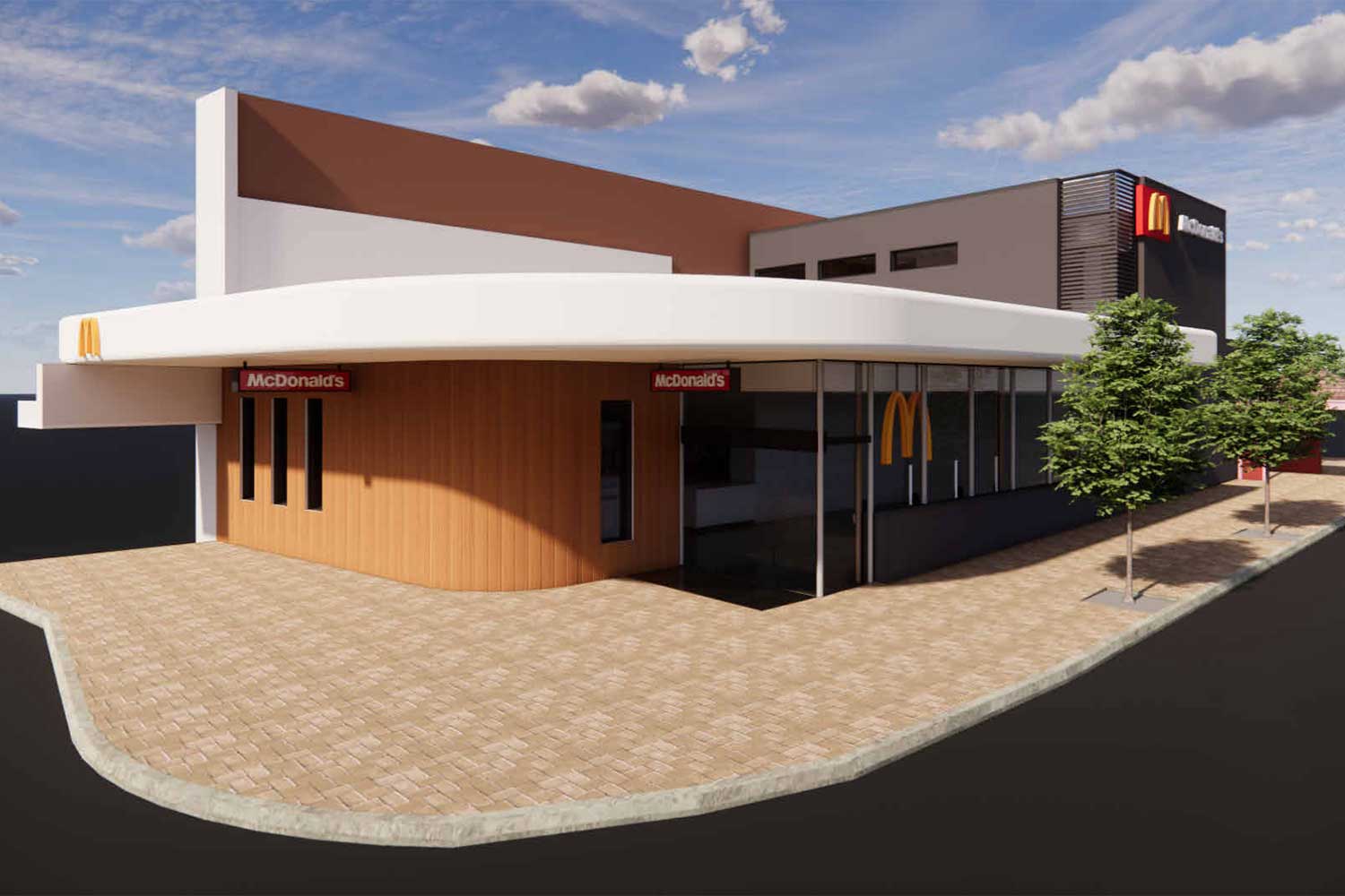
Maccas is coming to Crows Nest - and there's nothing the community or North Sydney Council can do to stop it.
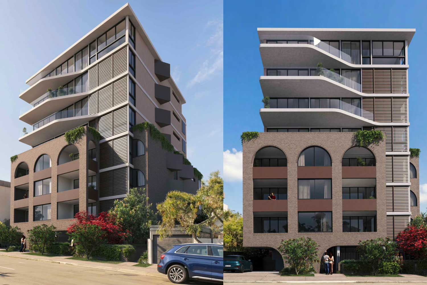
An eight-storey block with 23 luxury apartments is on the in Mosman - and locals are not happy.
Plans for a small bar under the Harbour Bridge are back on the table, after North Sydney Council knocked it back in 2025.
Lime Bikes are heading to Mosman - and Council admits it cannot unreasonably block the operator under new NSW laws.


Get The Latest News!
Don’t miss our top stories delivered FREE each Friday.